GIS and Remote Sensing
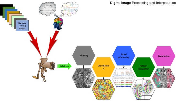
Digital Image Processing and Interpretation
Image acquired from various remote sensing sensors are in digital formats and can be manipulated through different tools or by using any scripting language (Python, C/C++, Java etc). In such a framework input is digital image and after the processing (applying algorithm) the out is also digital image. We do digital image processing at different level ranges from very basic to very advanced level. Our services related to digital image processing specially focus on but not limited to the following;
 Basic:
- Georeferencing
- Image mosaic and resize
- Visual image interpretation
- Data format conversion
- Pixel brightness transformations
- Image coordinate system transformation
- Image filtering
- Geocoding and geometric corrections
- Unsupervised classification
- Feature extraction
- Time series analysis
- Seasonality extraction from remote sensing time series
- Image classification (supervised)
- Data fusion and calibration
- Signal processing
- Application of machine learning algorithms in remote sensing studies
Techniques we used in digital image processing which include but not limited to the following;
- Machine learning methods
- Statistical methods/models
- Linear filtering
- Principal components analysis
- Independent component analysis
- Self-organizing maps
Tools:
Python, Matlab, IDL, ENVI/SARscape, ArcGIS, ERDAS Imagine, open source image processing libraries