GIS and Remote Sensing
GIS Application Development
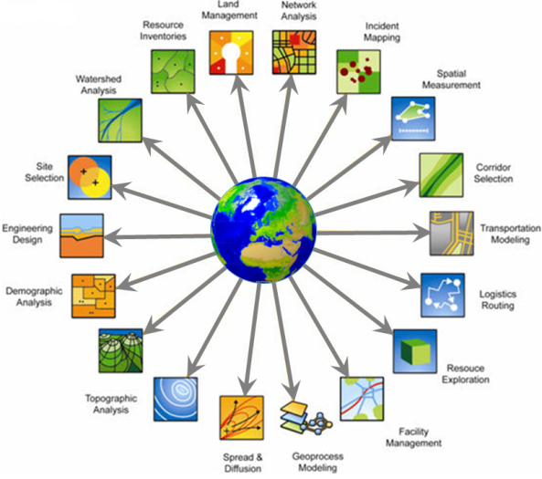
We are qualified and have experience in dealing with vector and raster data for the development of various GIS based applications. We are also providing services for integrating multisource datasets for GIS based decision support systems based on artificial intelligence methods. Our services related to GIS specially focus on but not limited to the following;
- Spatial data modeling: analysis and visualization
- Web based GIS applications
- Map digitization
- Tourist map generation
- Interactive WEB based tourist information and guide system
- Transportation system mapping (key stops, routes, …)
- How to find us (interactive web application for companies websites for finding their address and location)
- GIS database creation/setu
Tools:
Machine learning, regression models, descriptive statistics, Bayesian statistics, data mining Python, IDL, ArcPy, ArcGIS, ArcMap, GRASS, QGIS